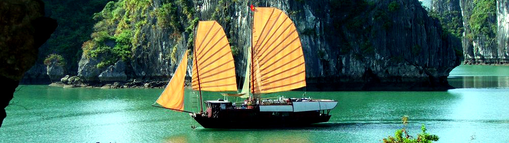


Charter Cruises
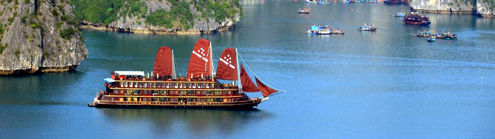
Premium Cruises
Superior Cruises
Honeymoon Cruises
Incentive Cruises
Geographical Location and Climate

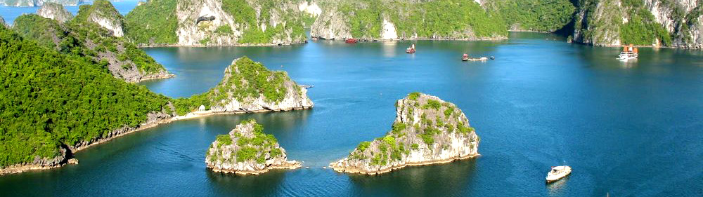
Halong Bay is located in the Northeast of Vietnam, belonging to QuangNinh Province. It is in the coastal area stretching from 1060 56’ to 1070 37’ east longitude and 200 43’ to 210 09’ north latitude.
In 1962, the Ministry of Culture and Information classified Halong Bay as a National Landscape Site, covering an area of 1,553 km2 with 1,969 islands. Halong Bay has been recognized twice by UNESCO as a World Heritage Area for its universal values of landscape, geology and geomorphology, respectively in 1994 and 2000, an area of 434 sq. km. including 775 islands.
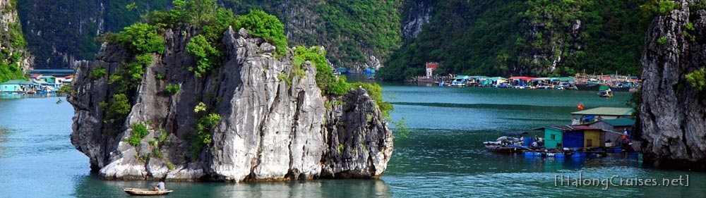
The area inscribed by UNESCO (the Protected Area I - the Core Zone) is bound by Dau Go Island in the east, Ba Ham Lake in the south and Cong Tay Island in the east. The Protected Area II - the Buffer Zone is identified by the shore of the Bay running along the National Highway No. 18A, from the Gasoline Warehouse B12 in Cai Dam Precinct to the km.11 marker in Quang Hanh Precinct, Cam Pha Town. The Protected Area III - the Hinterland Zone is the sea or mainland area surrounding the buffer zone, including the area adjacent to the Cat Ba National Park of Hai Phong City.
- Climate is featured humid tropical charactor, including two distinct seasons: hot, humid with much rainning in summer and cold, dry in winter. The average temperature ranges from 150 – 250C with annual average rainfall of 2,000 – 2,200mm/year. Halong Bay has a typical tidal time (tidal amplitude ranges from 3.5 – 4.0m. The degree of salt in the sea water ranges from 31 – 34.5% in the dry season and decreases in the rainy season.
Click here to view pictures about Halong Caves
Video About Cat Ba Island
Other news
Hot Deals
Why Choose Us
Quick Questions
Latest News
Connect with us


Travel resources
Vietnam River Cruises
Book River Cruises in Vietnam & Cambodia with local expert!